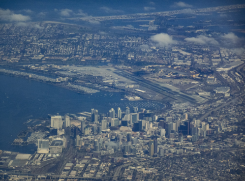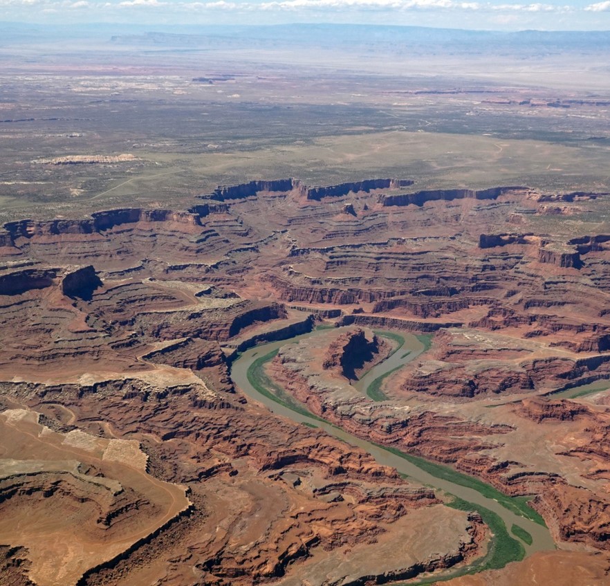
This Flight Log ( includes VFR Pilot’s Roadmap) covers many interesting over-flight points of interest between Phoenix, Arizona and San Diego, California through Palm Springs, California. Enjoy a blend of Aerial Photography, Avionics and new Flight Instrumentation on the Apple iPhone linked to the ForeFlight iPad Software.
Flight Statistics are:
Distance: 648 nm (745 miles/1200 km) / Flight time: 3hr 53 min
Avg speed: 166 kt (191 mph/307 kph)
Cruising altitude west: 10,500 ft/3,200 m / Cruising altitude east: 11,500 ft /3505 m
Cruise fuel flow: ~ 11 gph / 41 liter/hr
The Mooney has mechanical fuel gauges mounted on
both wings. Here is the view of the left (port) wing gauge
showing 25 gallons. It is comforting for the passenger to
know the remaining fuel, even if there is an electrical outage!
DOWNLOAD the details and photo’s in MS Powerpoint. Sorry not open source!
- Chuckwalla Valley Raceway and Private Airstrip – Desert Center, California
- Quartzite, Arizona
- Kofa Mountains
- Central Arizona Project – Water!
- Tartesso Community Development / Palo Verde Nuclear Power Facility
- Phoenix Raceway is a 1-mile, low-banked tri-oval race track located in Avondale, Arizona, near Phoenix.
- “Monument Hill”, located alongside turns 1 and 2. At the top of this hill lies a USGS bench marker known as Gila and Salt River Meridian
- Gila Bend Solano solar energy facility in Arizona
- Sand Dunes Yuma Arizona
- Lake Morena, California
- Laguna Mountains Wind Farm
- Marine Corps Air Station Miramar
- Naval Air Station North Island – Coronado, California
- Littoral combat ship(s) Pacific Fleet San Diego
- Encinitas California – North County: Olivenhain Reservoir and Lake Hodges
- Diamond Valley Lake / Perris Reservoir
- Silent Valley Club on Mt. San Jacinto
Flying with Climate Control made for cooler cabin temperatures during a long flight on a warm day )

