Southern Arizona Wine Country Flight -Pilot Report-

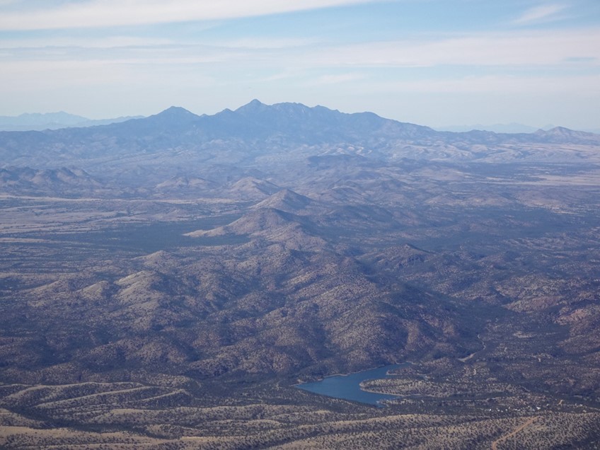
This awesome Arizona Wine Country private aircraft flight near Willcox Arizona on the slope of the Chiricahua Mountains — flying up to 12,500 ft — at appx 219 mph / 190 kt — into Southwestern New Mexico (departing Phoenix, Arizona).
Sonoita-Elgin, Willcox, and the Verde Valley are the 3 main Wine Regions in Arizona. The Willcox Region grows about 75% of all wine grapes in Arizona; agricultural issues facing Willcox will impact the future growth of the Arizona wine industry.

WINE TASTING IN WILLCOX: http://www.willcoxwines.com/index.html
WINE TASTING IN SONOITA-ELGIN: https://www.yelp.com/search?cflt=wineries&find_loc=Sonoita%2C+AZ+85637
And the private flight continues right over the U.S.A. – Mexican Border through these Arizona Towns and beautiful Landmarks : Naco, Bisbee, Douglas, Sierra Vista, Nogales, Tucson, Dos Cabezas Peak (Two Heads in Spanish), Willcox, Chiricahua Mountains, Dragoon Mountains, San Pedro River, Sonoita, Santa Cruz County, Patagonia-Sonoita Creek Preserve …
The area is steep in History – Including the 1920’s aerial bombardments in Naco, Arizona and Sonora, Mexico — with a great article https://truewestmagazine.com/the-bombing-of-naco/ in True West Magazine.
While you are in the Region — which is vast — take some extra time and also go see the famous Copper Mining towns of Bisbee, Douglas and Naco. The Copper Queen is gigantic and very cool.
TAGS: Wilcox Wineries, Sonoita Wineries, Pillsbury, Dos Cabezas WineWorks, Callaghan Vineyards, Sand Reckoner, Patagonia – Animas, New Mexico, Nogales, Tucson, Mt. Graham, Coronado National Forest, Pinaleño Mountains, Dos Cabezas Mountains Wilderness, Chiricahua Peak, Chiricahua Apache (including the leaders Cochise and Geronimo), Hidalgo County, Apache AZ, Agua Prieta Mexico, San Jose Peak, Cochise County, Naco Sonora Mexico, San Simon Valley, Mule Mountains, Sierra Vista Valley, Huachuca Mountains, Fort Huachuca, Miller Peak, Montezuma Pass, Parker Canyon Lake, Santa Rita Mountains, Santa Cruz River, San Pedro River, Coronado National Forest,

Douglas, Arizona was founded as an American smelter town, to treat the copper ores of nearby Bisbee, Arizona. The town is named after mining pioneer Dr. James Douglas and was incorporated in 1905. Two copper smelters operated at the site. The Calumet and Arizona Company Smelter was built in 1902. The Copper Queen operated in Douglas from 1904 until 1931, when the Phelps Dodge Corporation (known locally as PD) purchased the Calumet and Arizona Company and took over their smelter.
Bisbee was founded as a copper, gold, and silver mining town in 1880, and named in honor of Judge DeWitt Bisbee, one of the financial backers of the adjacent Copper Queen Mine.
Mining in the Mule Mountains proved quite successful: in the early 20th century the population of Bisbee soared. Incorporated in 1902, by 1910 its population had swelled to 9,019, and it sported a constellation of suburbs, including Warren, Lowell, and San Jose, some of which had been founded on their own (ultimately less successful) mines. In 1917, open-pit mining was successfully introduced to meet copper demand during World War I.
The earliest evidence of humans in the vicinity of the Chiricahua Mountains are Clovis archeological sites https://en.wikipedia.org/wiki/Clovis_culture in New Mexico (the end of the last Glacial period), such as Double Adobe Site — the skull of a mammoth overlying a sand layer containing stone artifacts found in 1926 — in the Whitewater Draw tributary https://en.wikipedia.org/wiki/Double_Adobe_Site of Rucker Creek north of Douglas, Arizona. Subsequently, the Cochise culture another pre-ceramic based culture spanning 3000 – 200 BCE was defined from sites around the Chiricahua Mountains, including Cave Creek Canyon.


